Kala'mas August 2021: What is VLUP and joint recommendations?
The following article about the Gwa'ni Project was shared in the August 2021 issue of Kala'mas, 'Namgis First Nation's community newsletter.
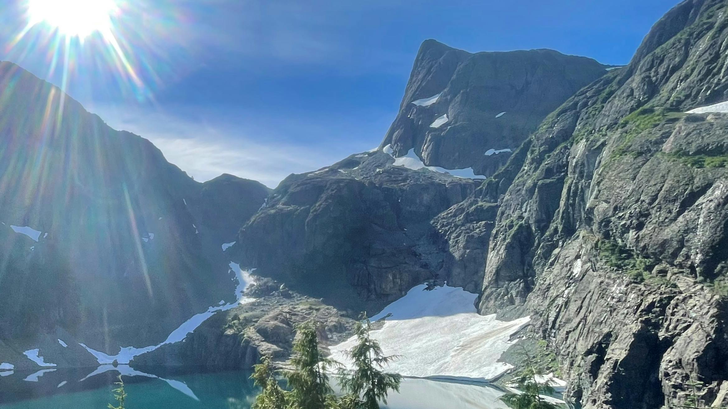
‘Namgis First Nation is partnering with the B.C. government to develop a modernized land-use plan for the majority of the Nimpkish Valley. This process will take several years to complete and is being called the Gwa’ni Project. The final land use plan recommendations will cover most of the Nimpkish Valley. They will guide what can happen on lands, rivers, lakes, watersheds, and forests in the planning area.
The Gwa’ni Project will create consensus recommendations on how to update the old plan – the Vancouver Island Land Use Plan.
VILUP – the Vancouver Island Land-Use Plan
The Vancouver Island Land Use Plan was enacted in 2000. It was the first time land use planning was done at such a large scale over an entire region in B.C. The plan protected approximately 13% of all land in the region and opened close to 81% of the land for potential uses like logging, recreation, tourism, mining, and other resource extraction.
A new, modernized land use plan could replace or amend VILUP in the Nimpkish Valley region. It will guide what can happen on lands, rivers, lakes, watersheds, and forests in the Gwa’ni Project area, which covers most of the Valley. ‘Namgis is partnering with B.C. on the Gwa’ni Project to develop consensus recommendations about land uses in this portion of ‘Namgis territory.
The Gwa’ni Project Team’s “Consensus Recommendations.”
Throughout the Gwa’ni Project, ‘Namgis members will asked for input into how our lands and waters in the planning area should be managed for future generations. Members will be asked for feedback on ways to manage activities and protect resources in the Nimpkish Valley such as:
- Tourism
- Recreation
- Mining
- Forestry
- Medicine and bark harvesting
- Fish and wildlife
- Cultural sites
- Plants, trees, animal habitats
- Rivers, lakes, watersheds
- Caves/karst
Technical experts and leaders representing ‘Namgis and B.C. make up the Gwa’ni Project team. They will use member feedback to develop consensus recommendations to inform a modernized land use plan. All ‘Namgis members will be encouraged to give their input so that the final recommendations reflect our Nation’s values and interests.
Forestry Landscape Plan – FLP
Land-use plans give broad, strategic level direction about managing resources and land development. More specific, tactical plans are created from them to guide how the forestry industry will operate inside the area that a land use plan covers. If, for example, a land-use plan is likened to the foundation of a house, these other plans drawn from that land-use plan are like the frames and walls of a house.
Most of the area of the Nimpkish Valley that the Gwa’ni Project deals with is within Western Forest Product’s Tree Farm Licence 37 (TFL 37). As ‘Namgis and BC develop consensus recommendations to modernize the VILUP, a Forestry Landscape Plan (FLP) is being developed that will get specific about things like:
- When, where, and how trees will be harvested
- Where logging roads will be built
- How forest practices will consider and manage all the forest’s values, including wildlife, fish, and aquatic habitats.
As the Gwa’ni project moves forward, ‘Namgis members will also be invited to share their feedback into the development of the FLP. We are hopeful that once the project is complete, we will have several recommendations and an FLP that reflect our people’s vision, values, and priorities for the future of our lands, and that result in our lands being managed sustainably for future generations.
